Postal Code and House Number in Excel with ApiCheck (Including Coordinates)
Easily enrich your Excel file with coordinates (lat/lon) based on postal code and house number via the ApiCheck API and a Node.js script.
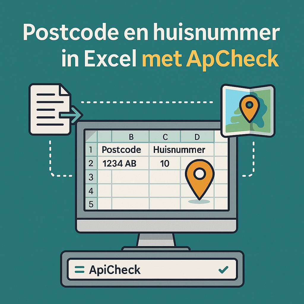
Do you have an Excel file with postal codes and house numbers and want to add GPS coordinates? With a simple Node.js script and the ApiCheck API, you can do this fully automatically.
What Do You Need?
- Node.js installed on your computer
- An ApiCheck API key (create a free account)
- Your Excel file saved as CSV
Preparing the CSV
Save your Excel file as CSV (delimiter-separated values). Make sure the columns have the following names:
| Column name | Description |
|---|---|
Postcode |
Dutch postal code (e.g. 1092CX) |
Huisnummer |
House number (e.g. 12) |
Toevoeging |
Optional: addition (e.g. A) |
Install the Dependencies
mkdir address-enricher && cd address-enricher
npm init -y
npm install fast-csv request
The Script: index.js
const fs = require('fs');
const csv = require('fast-csv');
const request = require('request');

const API_KEY = 'YOUR_API_KEY_HERE';
const INPUT_FILE = 'adressen.csv';
const OUTPUT_FILE = 'adressen_met_coordinaten.csv';

const rows = [];

fs.createReadStream(INPUT_FILE)
  .pipe(csv.parse({ headers: true }))
  .on('data', row => rows.push(row))
  .on('end', () => processRows(rows));

async function processRows(rows) {
  const results = [];

  for (const row of rows) {
    const { Postcode, Huisnummer, Toevoeging } = row;

    const url = `https://api.apicheck.nl/lookup/v1/address/nl` +
      `?postalcode=${Postcode}&number=${Huisnummer}` +
      `${Toevoeging ? `&numberAddition=${Toevoeging}` : ''}`;

    const data = await fetchAddress(url, API_KEY);

    results.push({
      ...row,
      Straat: data?.street || '',
      Stad: data?.city || '',
      Latitude: data?.location?.coordinates?.latitude || '',
      Longitude: data?.location?.coordinates?.longitude || '',
    });

    // Brief pause to avoid rate limiting
    await new Promise(resolve => setTimeout(resolve, 50));
  }

  csv.writeToPath(OUTPUT_FILE, results, { headers: true })
    .on('finish', () => console.log(`Done! Results saved to ${OUTPUT_FILE}`));
}

function fetchAddress(url, apiKey) {
  return new Promise((resolve) => {
    request({ url, headers: { 'X-api-key': apiKey }, json: true },
      (err, res, body) => resolve(err ? null : body)
    );
  });
}
Running the Script
node index.js
The script processes all rows and writes a new CSV file with the extra columns Straat, Stad, Latitude, and Longitude.
Opening the Result in Excel
Open the output CSV file in Excel. You now have GPS coordinates (WGS 84) for each address — ready to use for map visualization, route planning, or geographic analyses.
Working with Large Files
Processing thousands of addresses? Increase the pause between calls (setTimeout) or use an API key with higher rate limits. Contact [email protected] for enterprise options.