GPS Coordinates (WGS 84) with Address Lookup
Want GPS coordinates (WGS 84) with an address? Our API now supports this too! With our comprehensive API you can retrieve this data.
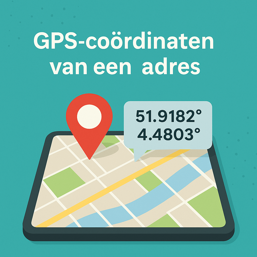
Good news: the ApiCheck API now also returns GPS coordinates in WGS 84 format with every address lookup. This lets you link addresses directly to maps, route planning, and geographic analyses.
Retrieving WGS 84 Coordinates
GPS coordinates are automatically included in the API response. No extra parameter is needed:
{
  "street": "Linnaeusstraat",
  "number": 12,
  "postalcode": "1092CX",
  "city": "Amsterdam",
  "location": {
    "coordinates": {
      "latitude": 52.3586,
      "longitude": 4.9254
    }
  }
}
The coordinates are returned as decimal degrees in WGS 84 format — the internationally used GPS coordinate system.
Complete Data Overview
In addition to the coordinates, the full API response contains:
| Field | Description |
|---|---|
street |
Full street name |
streetShort |
Abbreviated street name (optional) |
number |
House number |
numberAddition |
House number addition |
postalcode |
Formatted postal code |
city |
City name |
municipality |
Municipality |
province |
Province |
location.coordinates.latitude |
Latitude (WGS 84) |
location.coordinates.longitude |
Longitude (WGS 84) |
Some Example Use Cases
Google Maps pin on thank-you page: After an order, show the customer a map with a pin at the delivery address. This builds trust and makes the expectation concrete.
Route planning in CRM: Export customer addresses with coordinates for use in a route planner. Sales reps or delivery drivers can navigate directly.
Geofencing: Determine whether a customer address falls within a specific delivery area by comparing the coordinates against a geographic boundary.
All Countries Supported
GPS coordinates are available for all countries that ApiCheck supports: the Netherlands, Belgium, Luxembourg, France, Germany, and more than 15 other European countries.
Conclusion
With GPS coordinates in the ApiCheck API response, you have everything you need to visualize addresses, improve route planning, and perform geographic analyses — without any extra steps or data enrichment services.